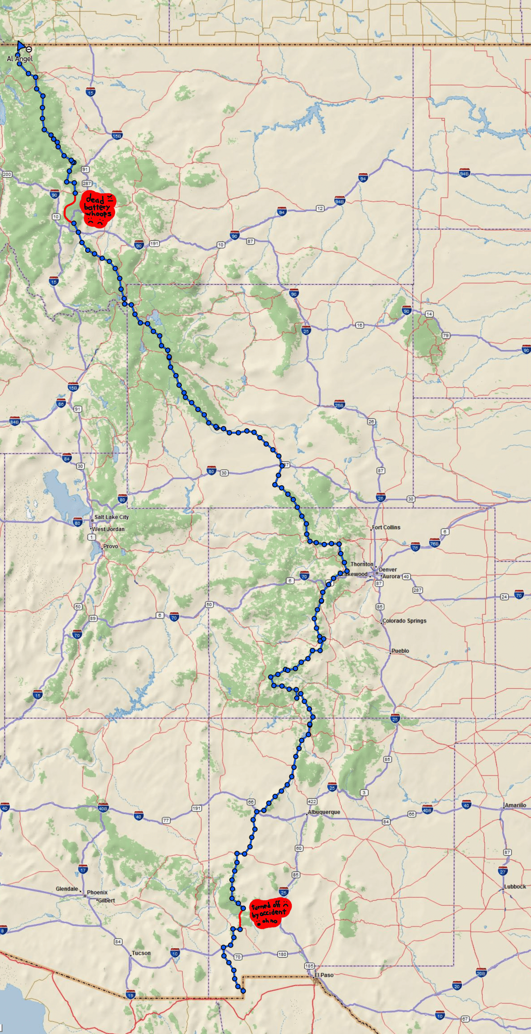
While hiking the CDT, I used a Garmin In-Reach Mini* to track my location so friends and family could follow our progress. This post is simply the complete, zoomed-out map of the hike from the Crazy Cook terminus to the Chief Mountain terminus: just under 2,400 miles at a glance. While probably less interesting than the various paths taken through specific area, I think it’s just kind of neat to be able to see five months of effort all at once.
Ensuring that the device was continuously tracking and updating to the map was something of a process, and one that I was not consistently successful in achieving. I’ve marked the two sections where I completely dropped the ball, hiking for days before realizing that I’d either accidentally stopped recording or had let the battery die through simple negligence. On the whole, though, I was able to keep it going the whole time I was on the trail.
*This is by no means a product endorsement: while the In-Reach Mini did everything it advertised and has much to recommend it, it is also needlessly difficult to use, excessively expensive, and limited in ways that are—to put it generously—frustrating.